Publications & Maps
Conservation Handouts


Restoration Handouts


Ashley Creek Restoration Handout
Flathead Conservation Stories – Videos

Protecting Our Land and Water for the Next Generation, by Flathead Land Trust

“Farming is not a living, it’s a way of life,” by Montana Land Reliance

Stories from the Land – the Glenn and Hazel Johnston conservation easement

Conservation partners preserve the Flathead River one property at a time, by MT Fish, Wildlife & Parks

Planting buffers for clean water, by Flathead Lakers & River Steward Program
Maps


Flathead River Floods (Flathead County GIS): 1964, 1975 and 1991

Interactive Maps


Flathead Brochures


Living in Flathead Guide


Living on the Land (subsection)

Living by Water (subsection)

Living with Wildlife (subsection)

Living with Fire (subsection)
For the online Guide visit the website at Living in the Flathead Guide.
Restoration Studies


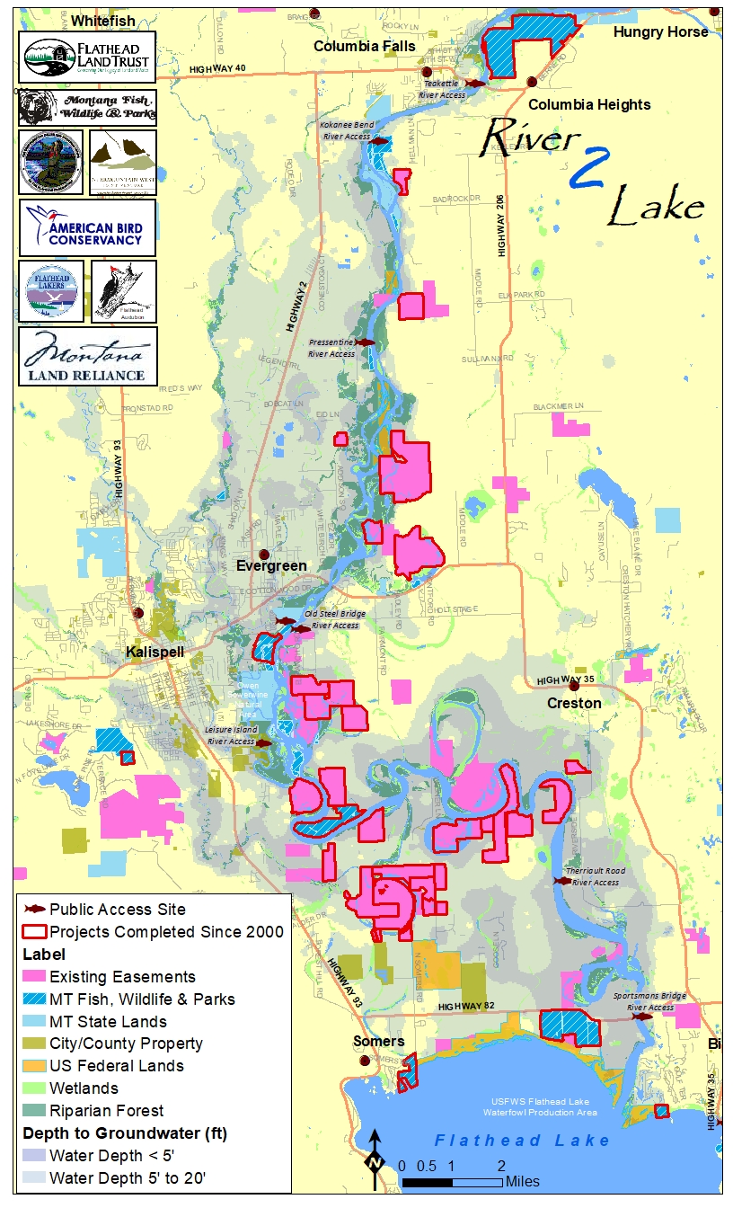
R2L Initiative Reports
- 2012 River to Lake Initiative Analysis of Conservation Success, Flathead River, Montana
- 2010 Flathead River Channel Migration Zone Report (11MB)
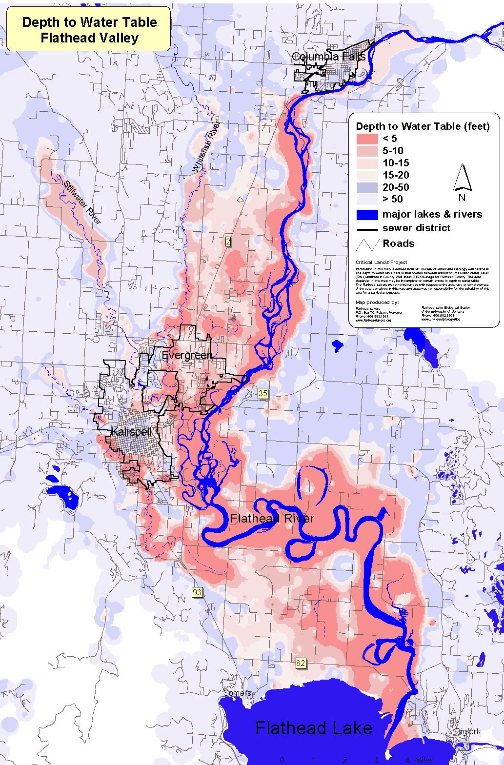
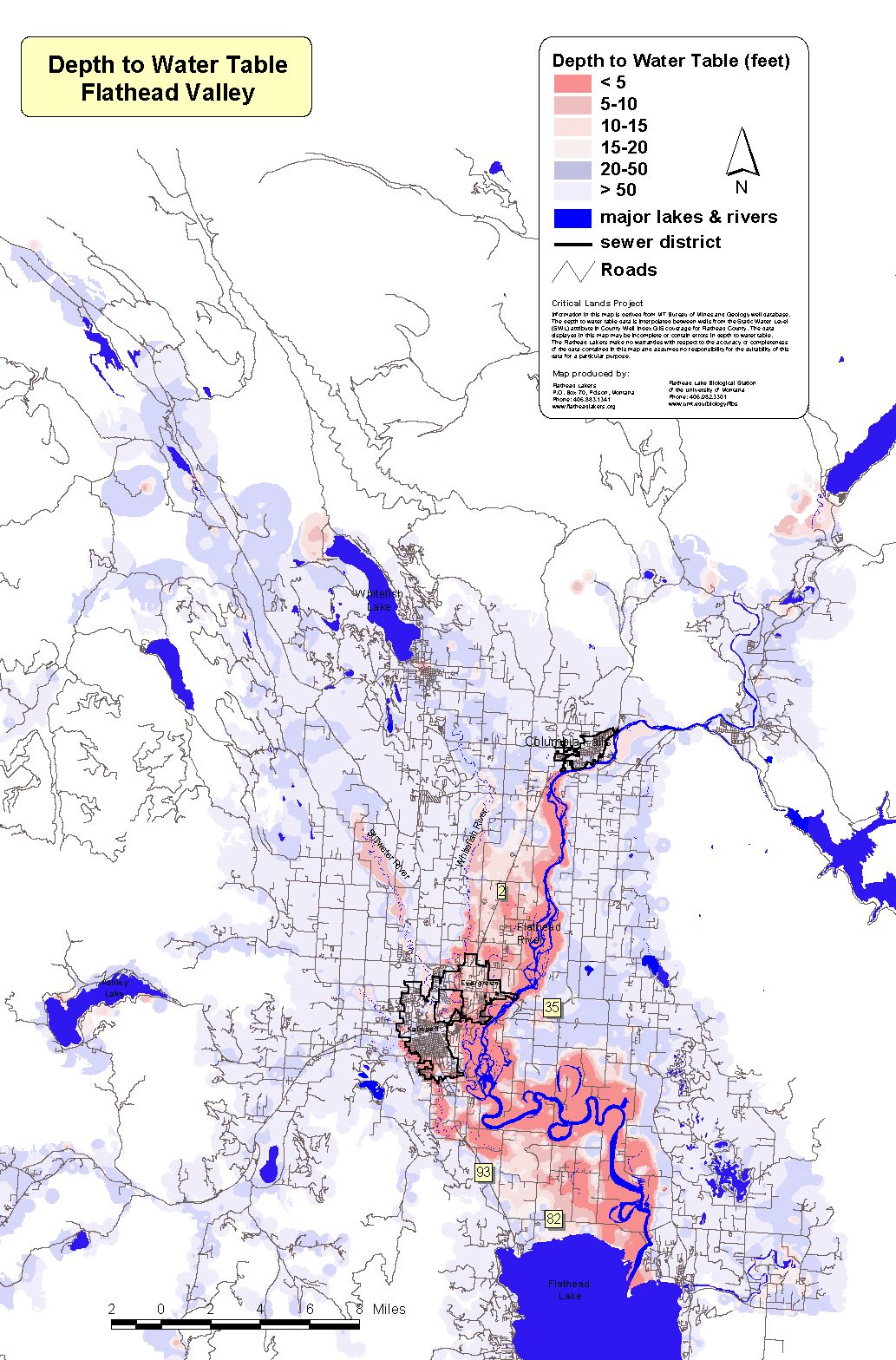
- 2009 Critical Water Resources Report
- Bird Biodiversity in the Flathead River Basin: A Conservation Hotspot in the Yellowstone to Yukon Corridor, 2005, by Mahr and Jones, Yellowstone to Yukon Initiative and Montana State University Landscape Biodiversity Lab, Montana
- 2004 Critical Lands Status Report Update, The North Flathead Valley & The Flathead River Corridor, Flathead Basin, Montana
- 2002 Critical Lands Status Report and maps
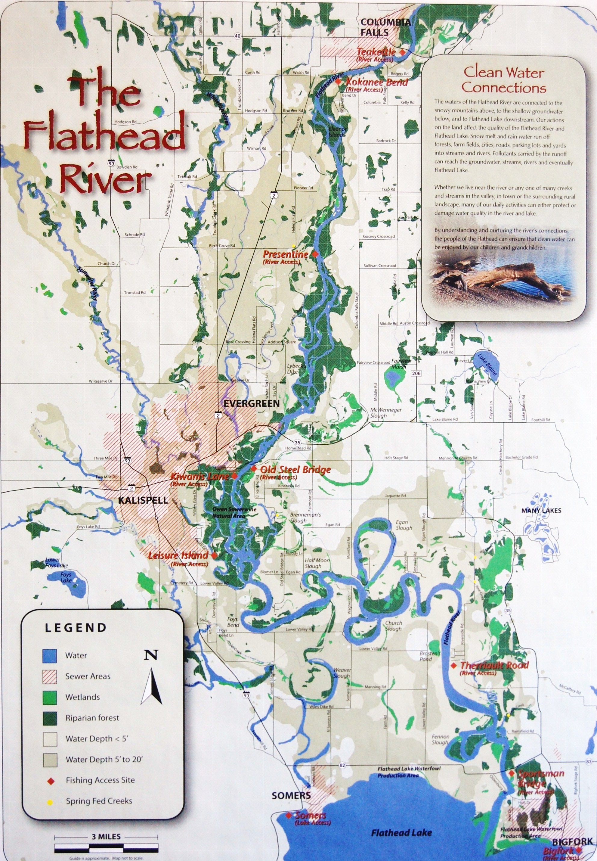
** Flathead River Map – to order copies ($2 each) contact the Flathead Lakers at 883-1341 or email constanza@flatheadlakers.org